Increasingly digital
The Port of Södertälje has developed a new GPS solution for vehicles and other Ro-Ro units.
– Our new GPS solution allows us to quickly gain an overview of where all vehicles and units are currently located, as well as historical data in the form of places and times, explains Tomas Zackrisson, IT manager at the Port of Södertälje.
Simple and mobile
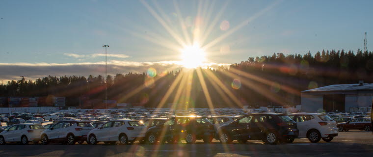
The Port of Södertälje handles approximately 120,000 imported vehicles each year.
– We can unload around 1,400-1,500 vehicles from a single vessel and in order to save on unnecessary tasks it was important to develop a system that was simple to use; so, we decided to use mobile phones and we tasked supplier Hogia Logistics with developing an app in which we could manage vehicle flows, says Tomas.
Mobile phones scan the barcode in all vehicles being moved through the port. GPS coordinates are sent in real time via the mobile network on to a platform where the data is managed.
More parking spaces
– Our map view displays an up-to-date image of where each individual vehicle or container is located. A new garage with space for 2,000 vehicles is underway and this is one of the reasons that we have begun to look at digitising our vehicle flows. We currently have approximately 5,000 parking spaces and the system provides us with a completely different overview of parked units, explains Tomas, who has been assisted in building up the system with over 20,000 coordinates by two young trainees from the Tekniksprånget (Technology Leap) work placement programme.
The new GPS solution is expected to be ready for testing before the summer and ready for implementation in the autumn.
« Back